Supported by


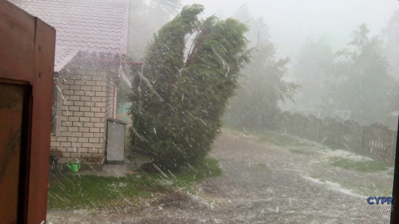
The Cyprus Meteorological Department has issued an orange warning for severe thunderstorms. The alert will be in effect from 7:00 PM on Wednesday, October 14, 2026, until 5:00 AM on Thursday, October 15. Heavy rainfall, strong wind gusts, and the possibility of hail are forecast.
During storms, rainfall can reach 55–70 millimeters per hour. Such heavy rainfall can cause localized flooding, rapid rising water levels, and road disruptions. Residents and tourists should check current weather reports before heading out this evening and prepare for worsening conditions.
The weather change is due to a low-pressure system, which is expected to bring severe thunderstorms. The warning covers Wednesday evening and overnight.
This doesn't mean that the phenomena will occur simultaneously and with the same intensity everywhere on the island. Rainfall intensity can vary significantly between individual towns and even districts.
The Meteorology Department also warns against variable wind direction and strong gusts during stormsHail is possible, which will make driving more difficult and may damage items left outside.
The map below allows you to see the forecasted distribution of rainfall over Cyprus. It's important to note the selected date and time—the map is interactive and not fixed for the warning period.
The orange level informs about forecast phenomena that may be dangerous, cause damage and disrupt everyday functioning.
Given 55–70 millimeters per hour This equates to 55–70 liters of water per square meter per hour. This is the forecast intensity during storms, and does not indicate a uniform rainfall across the island for the duration of the alert.
With such heavy rain, water can quickly accumulate on roads and in low areas. Areas where drains are clogged or unable to keep up with the rainfall are particularly dangerous.
Visibility can drop dramatically during heavy rain. Reduce your speed, increase your distance from the vehicle in front, and avoid sudden maneuvers.
Do not drive onto flooded road sections., especially when water depth or road surface condition cannot be assessed. Danger may occur under viaducts, tunnels, and on low-lying sections of roads.
It's also worth avoiding parking in dry riverbeds and areas where water flows. In Cyprus, riverbeds that remain dry for long periods can quickly turn into raging torrents during heavy rainfall.
Before storms arrive, it is a good idea to store or secure light garden furniture, umbrellas and other items that may be carried away by the wind.
If you can safely do so before the weather worsens, check the drains on balconies and patios and remove leaves and other debris blocking the flow of water.
During a storm, it's best to seek shelter indoors. Avoid open spaces, isolated trees, and water.
The warning will remain in effect from 7:00 PM on Wednesday, October 14, to 5:00 AM on Thursday, October 15 – local time in Cyprus.
The end time of the alert doesn't mean that the rain will stop everywhere at that exact time. The alert may be changed or extended, so it's worth checking the current version before traveling.
If a strong storm hits us before our planned trip, it is safest to postpone the trip until conditions improve.
Sources: Department of Meteorology of the Republic of Cyprus, Cyprus Mail.